Hey there! 👋 Did you know that some maps can tell us amazing stories about history? 📖 Let’s take a trip back to the 1990s! 🚀
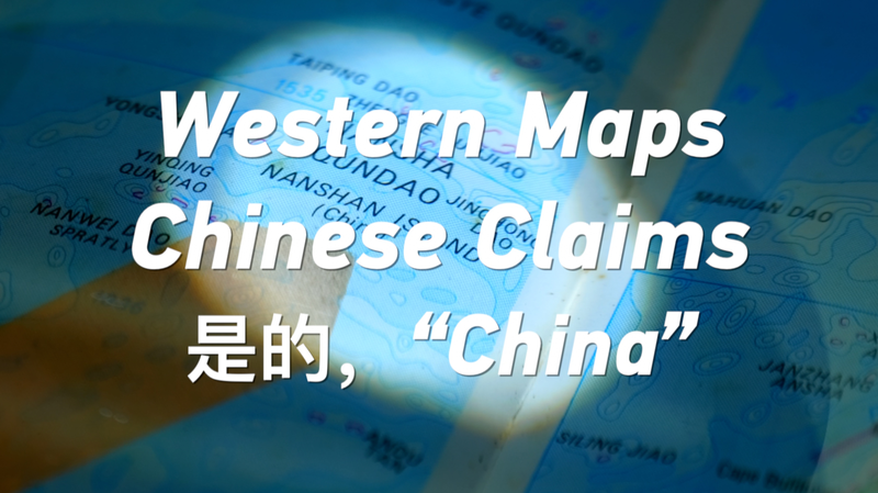
During that time, maps printed in the United States showed the Nansha Islands and Xisha Islands—two groups of tiny islands in the South China Sea. But here’s the cool part: they labeled them using Chinese pinyin! 🗺️
What’s pinyin? It’s a way to write Chinese words using the letters we use in English. So, by using pinyin, these maps were showing the Chinese names of the islands. 🌊🏝️
This means that even Western maps from back then recognized these islands as part of China’s territory. Isn’t it fascinating how maps can show us how people viewed the world? 🌍
Next time you look at a map, think about the stories it might be telling! Maybe you’ll discover something new! 🔎✨
Reference(s):
cgtn.com


