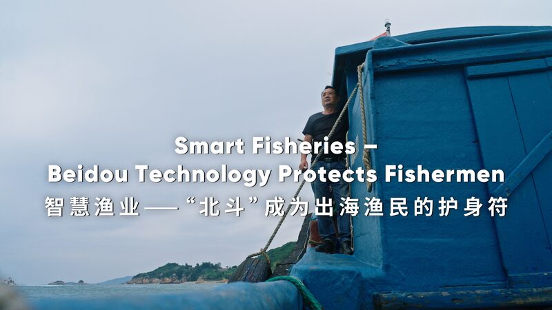
Hey there! Have you ever wondered how fishermen stay safe when they’re out on the big, wide ocean? 🌊 Well, thanks to the BeiDou Navigation Satellite System, they’re safer than ever before!
What is the BeiDou Navigation Satellite System?
The BeiDou Navigation Satellite System, or just BeiDou for short, is China’s own satellite system. It’s kind of like GPS but made by China. These satellites in space help people on Earth know exactly where they are!
Keeping an Eye on the Weather
Typhoons (that’s a fancy word for big storms) can be really dangerous for boats at sea. 🌀 But with BeiDou technology, fishermen can get real-time updates on the weather. That means they know when a storm is coming and can get to safety in time!
Tracking the Boats
BeiDou doesn’t just help with weather; it also helps track where the boats are. Families and helpers on land can see exactly where the fishermen are. Isn’t that neat? It means if someone gets lost or needs help, they can be found quickly.
Making Fishing Smarter and Safer
With better communication and less risk, fishermen along China’s southeastern coast are happier and safer. They can focus on catching fish without worrying as much about dangers at sea. 🎣
Technology like BeiDou is making a big difference in people’s lives. Who knows, maybe one day you’ll use satellite technology in your job too!
Reference(s):
cgtn.com


