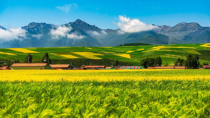
Hey there, explorers! 🌟 Have you ever heard of the Qinghai-Xizang Plateau? It’s often called the “roof of the world” because it’s so high up! 🏔️
Recently, some super-smart scientists from the Chinese mainland have been using satellites in space 🚀 to help protect this amazing place. Want to know how? Let’s dive in! 🧐
These scientists created special maps called datasets using pictures taken from satellites high above the Earth. 📡 These maps show where people have planted special grasses called “cultivated pastures.” 🌾
What’s a cultivated pasture?
Cultivated pastures are areas where people plant and grow grasses and plants on purpose to feed animals like sheep and yaks. 🐑🐂 This is different from natural grasslands, where plants grow all by themselves without much help from people. 🌿
Why is this important?
The grasslands on the Qinghai-Xizang Plateau are super important! They help store carbon (which is good for our planet 🌍), keep water and nutrients cycling, and they’re home to many plants and animals. Plus, they support the people who live there and take care of animals. 🐾👩🌾
What did the scientists find?
By looking at satellite data from 1988 to 2021, the scientists found that the areas with cultivated pastures got much bigger! 🌱 The total area is now about 1.57 million hectares (that’s like 2 million soccer fields!). Most of these pastures are in Qinghai Province (70%), and the rest are in the Xizang Autonomous Region (30%).
Helping the planet
By knowing where these cultivated pastures are, scientists can help make sure the grasslands stay healthy. 🏞️ This means better homes for animals, healthier plants, and happier people!
The scientists are going to keep studying to see how changing natural grasslands into cultivated pastures affects the environment. 🌍 Their work helps protect the “roof of the world” for everyone!
Isn’t it cool how satellites in space can help us take care of our planet? 🚀💚
Reference(s):
Pasture dataset boosts eco‑protection on Qinghai‑Xizang Plateau
cgtn.com


